

The Brothers That Just Do Gutters · Irvine · Fire Zone Check
Is Your South Orange County Home in a Fire Hazard Zone?
Get a free Roofline Fire Report: the CAL FIRE fire hazard zone where you live, how close the nearest Very High zone is, and the wildfires on record nearby.
- Official CAL FIRE map data
- Wildfire history since 2000
- California Contractor License #1145336
- Very High
- High
- Moderate
- Communities we serve
- Past fire perimeters
Quick answer
Fire zones and gutters in South Orange County: From Trabuco Canyon and Coto de Caza to Laguna Beach and the hills of Rancho Santa Margarita, 17 of the 19 communities our Irvine team serves include land CAL FIRE maps as a Very High Fire Hazard Severity Zone, and 5 are mostly Very High. California law requires homes in State Responsibility Area zones and locally adopted Very High zones to keep the roof free of leaves, needles and other plant material, and the state wildfire building code calls for noncombustible gutters with an approved way to keep debris out. CAL FIRE also notes embers can ignite homes up to a mile away, which is why a clogged gutter matters even outside the zones. Check your home above, call (949) 994-4410 or book online.
Where homes actually catch
Watch what one ember does to a full gutter
Wildfires rarely knock on the front door. When the Santa Ana winds blow, they throw embers ahead of the flames, and they land where dry fuel waits. On most roofs, that’s the gutter.
Dry leaves and needles are kindling sitting right against the roof edge and fascia board. An ember that lands here can smolder into flame where the roof meets the house.
30-second self check
How ready is your roofline?
Four taps. If you checked your address above, we already filled in your zone.
Answer all four to see your roofline readiness.
A quick self check, not an inspection or an official rating.
Community by community
Fire zones in every community we serve
Share of each community’s land inside CAL FIRE’s mapped zones, most exposed first. For one house, the address check at the top is exact.
Is Trabuco Canyon in a fire hazard zone?
Mostly Very HighYes. About 97% of Trabuco Canyon is in a Very High Fire Hazard Severity Zone on CAL FIRE’s maps, nearly all of it in the State Responsibility Area, where state law requires owners to keep the roof clear of leaves and needles. CAL FIRE records 7 wildfires within 2 miles since 2000, including Santiago (2007), Airport (2024), Silverado (2020).
Gutter service in Trabuco CanyonIs Laguna Beach in a fire hazard zone?
Mostly Very HighYes. About 86% of Laguna Beach is in a Very High Fire Hazard Severity Zone and 6% in High on CAL FIRE’s Local Responsibility Area map dated March 24, 2025. CAL FIRE records 8 wildfires within 2 miles since 2000, including Coastal (2022), Aliso (2018), Emerald (2022).
Gutter service in Laguna BeachIs Coto de Caza in a fire hazard zone?
Mostly Very HighYes. About 74% of Coto de Caza is in a Very High Fire Hazard Severity Zone and 18% in High, almost all of it State Responsibility Area land on the state map in effect since April 1, 2024. CAL FIRE records 6 wildfires within 2 miles since 2000, including Airport (2024), Antonio (2002).
Gutter service in Coto de CazaIs Foothill Ranch in a fire hazard zone?
Mostly Very HighMost of Foothill Ranch is mapped Very High Fire Hazard Severity Zone, the highest class CAL FIRE assigns. We measured it by the 92610 ZIP area inside Lake Forest, so the boundary here is approximate. Check your exact address above. CAL FIRE records 5 wildfires within 2 miles since 2000, including Santiago (2007), Silverado (2020), Bond (2020).
Gutter service in Foothill RanchIs Rancho Santa Margarita in a fire hazard zone?
Mostly Very HighYes. About 68% of Rancho Santa Margarita is in a Very High Fire Hazard Severity Zone and 20% in High on CAL FIRE’s Local Responsibility Area map. CAL FIRE records 7 wildfires within 2 miles since 2000, including Santiago (2007), Airport (2024), Antonio (2002).
Gutter service in Rancho Santa MargaritaIs San Clemente in a fire hazard zone?
Large Very High areasYes. About 41% of San Clemente is in a Very High Fire Hazard Severity Zone and 16% in High on CAL FIRE’s local map, mostly in the inland canyons and hillsides on the east side of town. CAL FIRE records 4 wildfires within 2 miles since 2000, including Combat (2014), Cristianitos (2017), TRW (2000).
Gutter service in San ClementeIs Laguna Niguel in a fire hazard zone?
Large Very High areasYes. About 34% of Laguna Niguel is in a Very High Fire Hazard Severity Zone and 17% in High on CAL FIRE’s Local Responsibility Area map. CAL FIRE records 6 wildfires within 2 miles since 2000, including Coastal (2022), Aliso (2018), Avery (2002).
Gutter service in Laguna NiguelIs Lake Forest in a fire hazard zone?
Large Very High areasYes. About 33% of Lake Forest is in a Very High Fire Hazard Severity Zone and 4% in High on CAL FIRE’s maps, almost all of it at the north end around Foothill Ranch and Portola Hills. CAL FIRE records 5 wildfires within 2 miles since 2000, including Santiago (2007), Silverado (2020), Bond (2020).
Gutter service in Lake ForestIs Newport Beach in a fire hazard zone?
Large Very High areasYes. About 31% of Newport Beach is in a Very High Fire Hazard Severity Zone and 6% in High on CAL FIRE’s local map, concentrated in Newport Coast and the canyon edges of Corona del Mar. CAL FIRE records 4 wildfires within 2 miles since 2000, including Emerald (2022), Laguna (2002).
Gutter service in Newport BeachIs San Juan Capistrano in a fire hazard zone?
Large Very High areasYes. About 29% of San Juan Capistrano is in a Very High Fire Hazard Severity Zone and another 29% in High on CAL FIRE’s Local Responsibility Area map. CAL FIRE records 5 wildfires within 2 miles since 2000, including Avery (2002), Trabuco (2016), San Juan (2016).
Gutter service in San Juan CapistranoIs Aliso Viejo in a fire hazard zone?
Large Very High areasYes. About 27% of Aliso Viejo is in a Very High Fire Hazard Severity Zone and 7% in High on CAL FIRE’s Local Responsibility Area map. CAL FIRE records 7 wildfires within 2 miles since 2000, including Coastal (2022), Aliso (2018), Laguna (2002).
Gutter service in Aliso ViejoIs Irvine in a fire hazard zone?
Large Very High areasYes. About 25% of Irvine is in a Very High Fire Hazard Severity Zone and 10% in High. Irvine adopted CAL FIRE’s 2025 map without changes, in effect July 23, 2025, and it brought zones into Orchard Hills, Woodbury, Portola Springs, Quail Hill, Turtle Rock, Laguna Altura, Los Olivos and Irvine Spectrum. CAL FIRE records 18 wildfires within 2 miles since 2000, including Santiago (2007), Silverado (2020), Sierra (2006).
Gutter service in IrvineIs Laguna Woods in a fire hazard zone?
Large Very High areasYes. About 22% of Laguna Woods is in a Very High Fire Hazard Severity Zone and 4% in High on CAL FIRE’s local map, along the western edge of the city. CAL FIRE records 4 wildfires within 2 miles since 2000, including Laguna (2002).
Gutter service in Laguna WoodsIs Mission Viejo in a fire hazard zone?
Very High pocketsYes. About 7% of Mission Viejo is in a Very High Fire Hazard Severity Zone and 13% in High. The City Council held its hearing to adopt CAL FIRE’s map without revisions on May 27, 2025. CAL FIRE records 10 wildfires within 2 miles since 2000, including Santiago (2007), Silverado (2020), Antonio (2002).
Gutter service in Mission ViejoIs Dana Point in a fire hazard zone?
Very High pocketsYes, at the edge. About 5% of Dana Point is in a Very High Fire Hazard Severity Zone and 2% in High, at the northwest edge of the city toward Laguna Niguel. CAL FIRE records 1 wildfire within 2 miles since 2000, including Coastal (2022).
Gutter service in Dana PointIs Laguna Hills in a fire hazard zone?
Very High pocketsYes, at the edge. About 2% of Laguna Hills is in a Very High Fire Hazard Severity Zone and 1% in High, in the northwest corner of the city. CAL FIRE records 6 wildfires within 2 miles since 2000, including Avery (2002), Trabuco (2016), San Juan (2016).
Gutter service in Laguna HillsIs Ladera Ranch in a fire hazard zone?
Mostly HighYes. About 15% of Ladera Ranch is in a Very High Fire Hazard Severity Zone and 49% in High on CAL FIRE’s maps. Roughly 30% of the community is State Responsibility Area land mapped High, and the rest of the zoned land is on the Local Responsibility Area map. CAL FIRE records 9 wildfires within 2 miles since 2000, including Antonio (2002), Avery (2002), Trabuco (2016).
Gutter service in Ladera RanchIs Costa Mesa in a fire hazard zone?
High zone areasOnly at the edges. About 2% of Costa Mesa is in a High Fire Hazard Severity Zone and 2% in Moderate, around Fairview Park. No part of the city is mapped Very High.
Gutter service in Costa MesaIs Capistrano Beach in a fire hazard zone?
Mapped zone edgesBarely. Measured by the 92624 ZIP area inside Dana Point, about 3% of Capistrano Beach falls in CAL FIRE’s mapped zones, mostly Moderate, and the boundary here is approximate. CAL FIRE says embers can ignite homes up to a mile away, so a clean roofline still matters.
Gutter service in Capistrano BeachThe rules
What California asks of your roofline
In State Responsibility Area zones and locally adopted Very High zones, owners must “maintain the roof of a structure free of leaves, needles, or other vegetative materials.”
Gutters and downspouts “shall be constructed of noncombustible material,” with “an approved means to prevent the accumulation of leaves and debris.”
“Keep gutters free from plant debris to prevent ember ignition” and “use noncombustible gutter covers to keep out debris and reduce maintenance.”
Fire zone gutter questions
Use the check at the top of this page. Tap “Use my location” for your exact spot or pick your community, and it reads CAL FIRE’s official State Responsibility Area map (in effect April 1, 2024) and Local Responsibility Area map (dated March 24, 2025). Your city’s adopted map is the legal reference. Irvine, for example, adopted the 2025 map without changes, in effect July 23, 2025.
California’s 2025 Wildland-Urban Interface Code, section 504.4, requires gutters and downspouts to be noncombustible and gutters to have an approved way to keep leaves and debris out. State law also requires homes in State Responsibility Area zones and locally adopted Very High zones to keep roofs free of leaves, needles and other plant material.
Yes. CAL FIRE says embers can ignite homes up to a mile away, and a gutter full of dry leaves and needles is exactly where they land. Keeping it clean, or covered with non-combustible mesh, lowers that risk anywhere.
The National Weather Service issues a Red Flag Warning when warm temperatures, very low humidity and strong winds combine to create critical fire weather. Our check shows any active Red Flag Warning or Fire Weather Watch for your address, live.
Plastic and foam can burn, and the WUI code calls for noncombustible gutters. CAL FIRE recommends noncombustible gutter covers. Our crews install stainless BroGuard micro-mesh.
Before fire season, again after the heavy leaf drop, and after any Santa Ana wind event. Homes under eucalyptus, sycamores or pines usually need more visits, and a metal mesh guard cuts that down a lot.
Sources and how this works
- CAL FIRE Office of the State Fire Marshal, Fire Hazard Severity Zones (State Responsibility Area map adopted January 31, 2024, in effect April 1, 2024; Local Responsibility Area map dated March 24, 2025)
- 2025 California Wildland-Urban Interface Code, section 504.4, emergency supplement (effective January 1, 2026)
- California Public Resources Code section 4291(a)(4)
- California Government Code section 51182(a)(4)
- City of Irvine, New Fire Hazard Severity Zone Maps (2025 map adopted by ordinance in June 2025, in effect July 23, 2025)
- City of Mission Viejo, Fire Hazard Severity Zones Maps (public hearing to adopt the map without revisions, May 27, 2025)
- CAL FIRE Ready for Wildfire, Hardening Your Home
- National Weather Service alerts API (live Red Flag Warnings and Fire Weather Watches)
- CAL FIRE Fire and Resource Assessment Program, California Fire Perimeters
- U.S. Census Bureau TIGERweb, city, census-designated place and ZIP code area boundaries
- USGS The National Map, imagery basemap (public domain)
The address check queries CAL FIRE’s published zone layers and the National Weather Service in real time. Community shares were measured in October 2026 from the same layers against U.S. Census city and census-designated place boundaries, with ZIP code areas standing in for Foothill Ranch (92610) and Capistrano Beach (92624). Nearby wildfire history comes from CAL FIRE’s fire perimeter records since 2000 (fires of 10 acres or more within 5 miles). Map tiles by OpenFreeMap, data from OpenStreetMap contributors; satellite imagery from USGS. Address search by Esri.
Free estimates
Get your roofline fire-season ready
Free, no-pressure estimates from local Solutionists. Hand cleaning, seamless metal gutters formed at your home, and non-combustible BroGuard mesh that keeps debris out for good.
From the blog
Gutter advice for Irvine and South Orange County homes
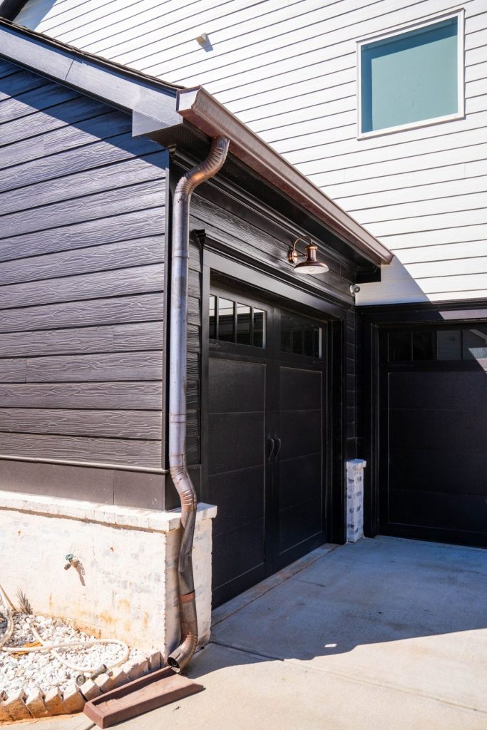 Rain Barrels in Irvine: Rebates, Rules and the Gutters You Need
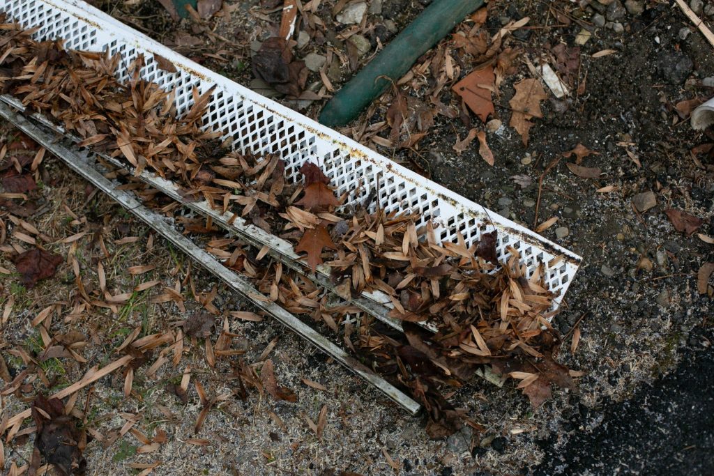 Can Clogged Gutters Breed Mosquitoes? A South OC Homeowner Guide
♿
Bigger Text
Biggest Text
Text Spacing
Readable Font
Highlight Links
Highlight Titles
Big Cursor
High Contrast
Invert Colors
Grayscale
Pause Motion
Licensed & Bonded · California Contractor License #1145336